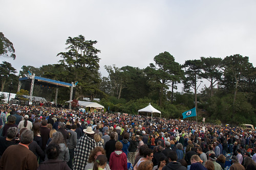
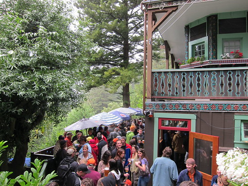
Another foggy weekend, another great festival in the bay. This past weekend I went to my third Hardly Strictly Bluegrass, a remarkable free annual music festival in Golden Gate Park. Investment banker and banjoist Warren Hellman foots the bill every year, calling the event "The closest I'll ever get to heaven."
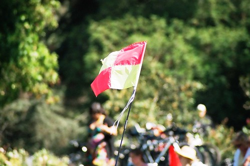
Besides the consistently outstanding acts and the generally groovy vibe, Hardly Strictly Bluegrass offers a great opportunity to observe how large groups of people can organize themselves in interesting ways. In past years, for example, I've marveled at how people use flags, balloons, and other props to make landmarks within the crowd. It's sort of a do-it-yourself wayfinding exercise pursued without official instructions or sanction.
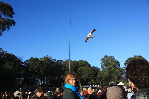 |
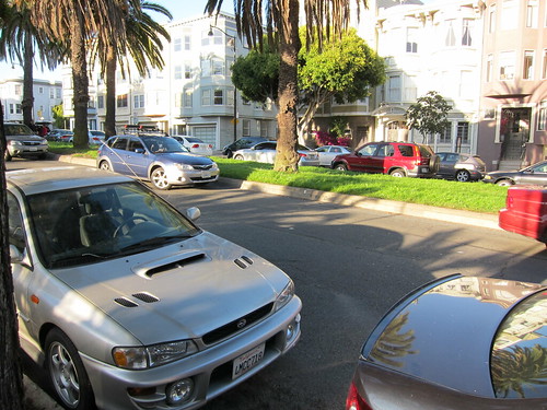
| At 2009's HSB, I was only able to find my friends by virtue of their proximity to an osprey kite. | |
|
|
This year, planning ahead, I brought several lengths of dowels, a roll of duct tape, and a blue handkerchief to Rooster stage, where
Sharon Jones and the Dap-Kings were due to play at the end of the day. Fashioning a crude flag pole from the dowels and duct-taping it to a steel barricade, I raised my beacon to the crowd and text messaged my friends. By the time Sharon was shimmying across the stage, there were dozens of us dancing under the blue bandana. (Which my phone's auto-spell misleadingly corrected to "blue banana.")
 |
| Phone calls were impossible due to the noise and dropped calls, despite cell providers' extra coverage. |
While cell phone users now have the ability to georeference themselves and send the location to their friends via
FourSquare,
Twitter, or
Facebook Places, the combination of a relatively old digital technology, text messaging, and an even old communication method, flags, proved to be a remarkably effective means of marking a specific place among an otherwise anonymous crowd.
Reflecting on the flag-text combination, I realized that the effectiveness of the endeavor came from the coordination of a physical action in the landscape with a message sent on social media. It was a tiny example "
emergent urbanism," a term I have adopted loosely from
Dan Hill to describe coordinated action in cities coordinated through digital networks. Regardless of what sort of urbanism may or may not have emerged at Hardly Strictly Bluegrass, it was a fabulous show enhanced by great company. I can promise I'll be back next year to continue my research.


